Dispute islands
This thesis presents an analysis of the cartographic material created and controlled by state agencies and used as a tool for political propaganda, nation and state building, and geopolitical purposes. Specially created images disseminated through numerous channels become part of the universal cartographic discourse and directly affect individual and mass perceptions of reality by shaping certain mental images of the world. All these ways of creating and disseminating visualisations of the world and specific territories play a very important role in island conflicts. The results of the study illustrate the dynamics of cartography and its effects.
Dispute Islands
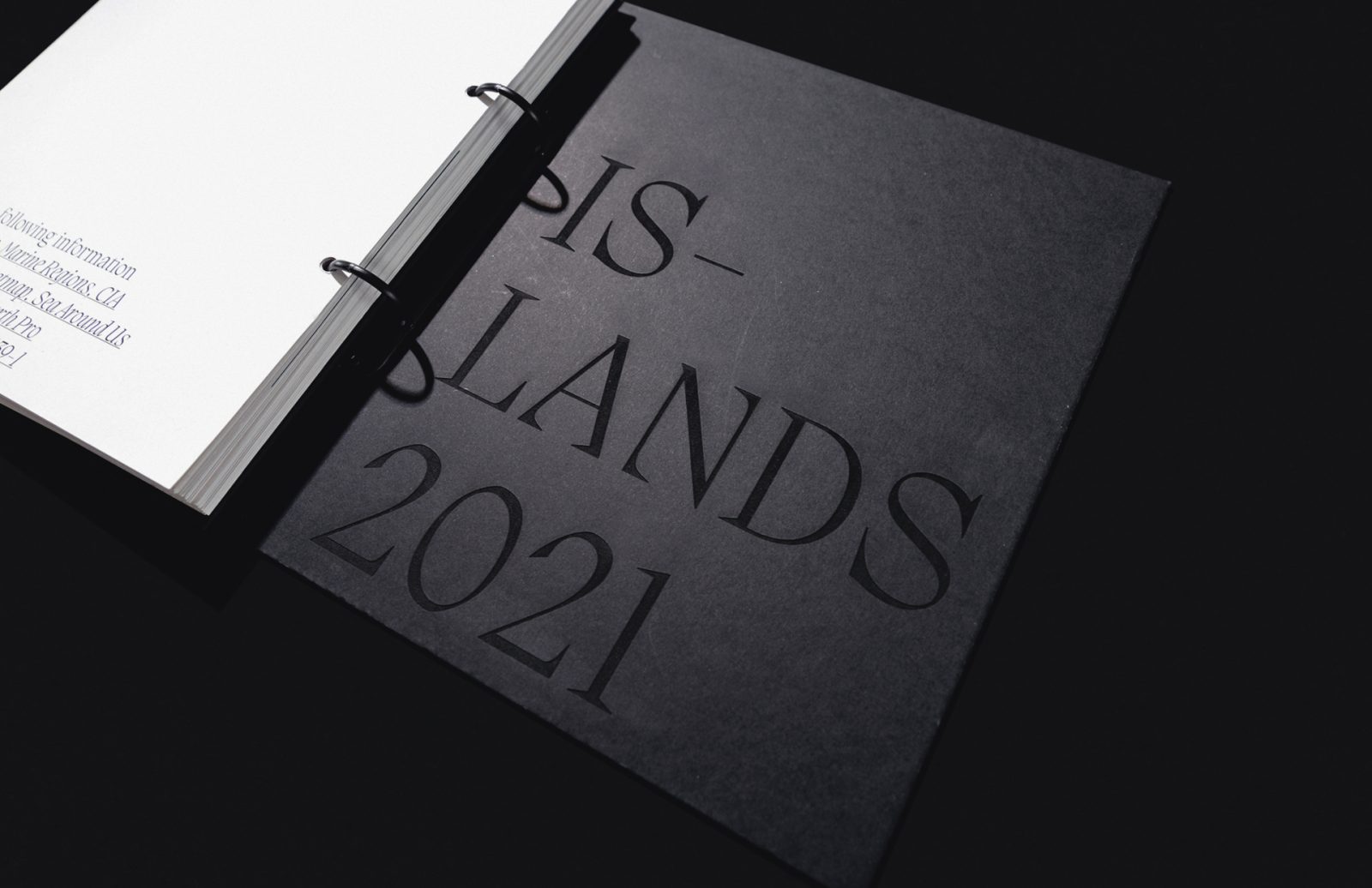
The project consists of two parts: an installation and an atlas.
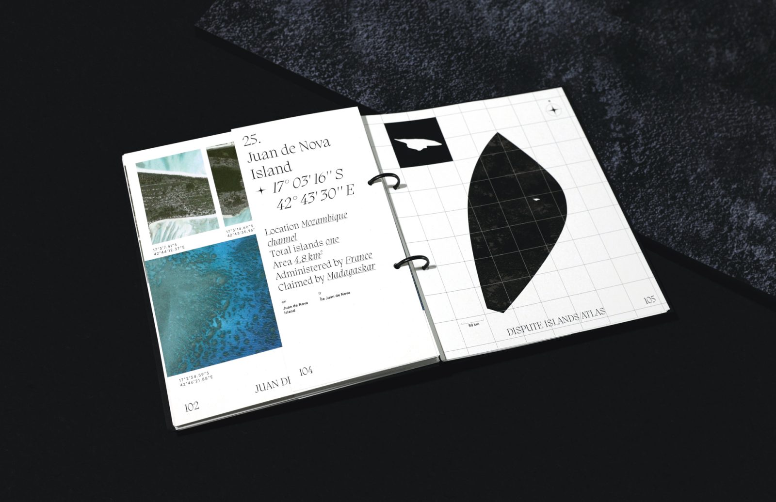
The atlas documents the conflicts related to the exclusive economic zones adjacent to the rocks and islands. Each of the island conflicts is accompanied by a photographic component based on Google satellite images.
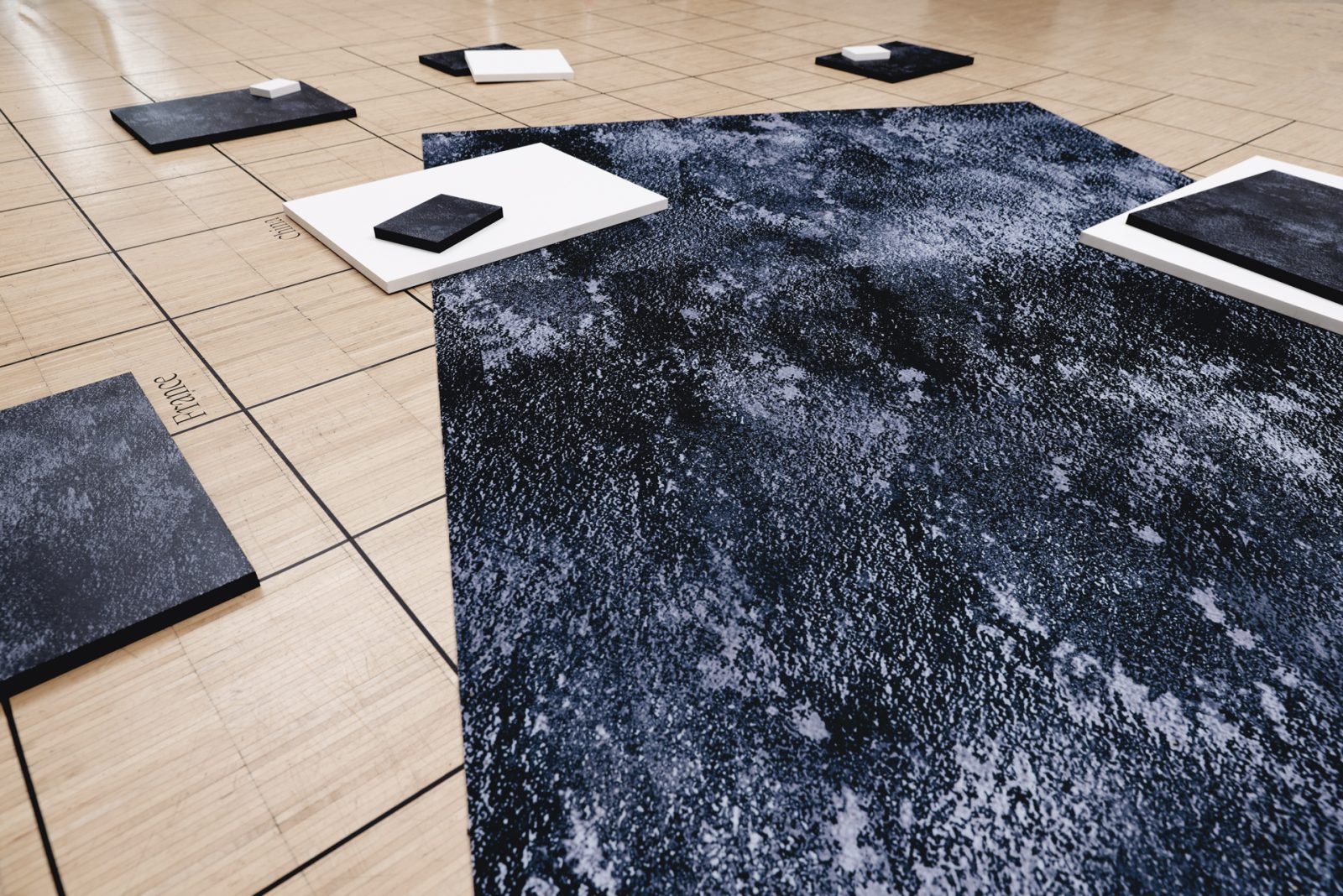
The installation part of the project addresses the issue of economic zones on a global scale. It juxtaposes the economic zones, the maritime possessions of countries, with the land area of the same countries in the form of simple geometric figures. The largest area representing the economic zones of all UN countries is chosen as the scale.


